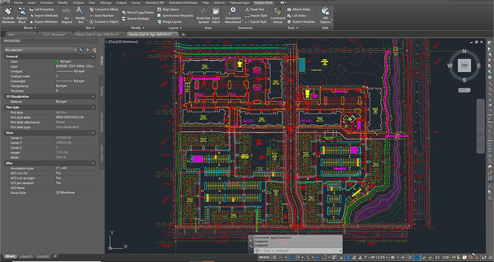
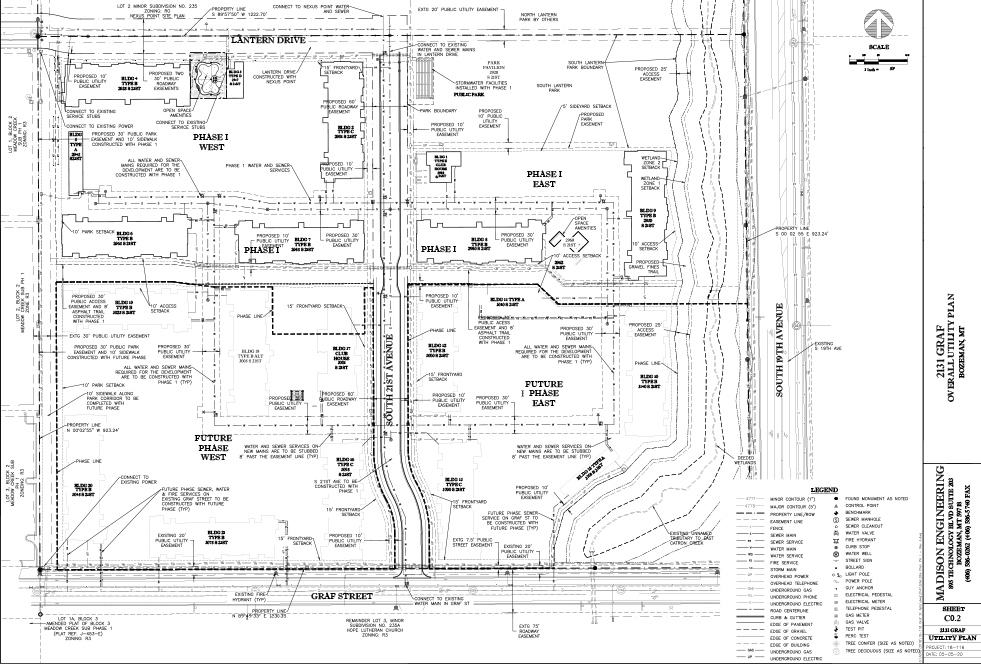
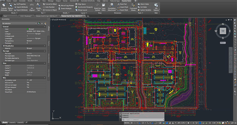
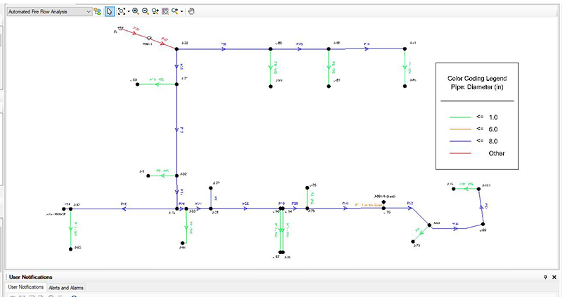
Madison Engineering utilizes several different computer programs to draft and design your project.
We work together with surveying companies (by cooperative agreement) to determine existing conditions and current grade elevations. We utilize AutoCAD Civil 3D to determine the horizontal and vertical layout of your site. We have the staff, experience and knowledge to start drafting your project today.
Drafting Programs
AutoCAD Civil 3D
Microsoft Excel
WaterCAD
Microsoft Word
DESIGN & DRAFTING
AUTOCAD CIVIL 3D
At Madison we use AutoCAD Civil 3D to draft and design your project. This allows us to properly design, to meet your expectations and follow the required specifications.
We are able to create horizontal and vertical line work that depicts how the site will be constructed. Horizontal or 2D line work will show the layout of the site. Vertical or 3D line work will show how the site is graded for adequate drainage. AutoCAD Civil 3D gives our engineers the tools complete your project with precise location and elevations.
Land Desktop Development
Road & Site Work Design
Surface Modeling & Contouring
Pre-build Iterations & Updates
WaterCAD
Treated & Raw Water Systems
SewerCAD
Sewer Collection Systems & Pump Stations
DESIGN & DRAFTING
WATERCAD
When designing the layout of the water main to serve the future site. The capacity of the water main needs to be determined. We utilize Bentley WaterCAD to verify the capacity and ensure that the water main and water services on your site will properly serve the development. We include WaterCAD information with City submittals of design reports.
Paper & Mylar
Plotting
Madison Engineering utilizes a full size plotter to create plan sets. These plan sets are accurately to scale and distributed to contractors and inspectors for reference. After the utilities are installed and as-builts are prepared for the city. Mylars are created per city specification.


